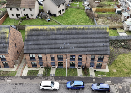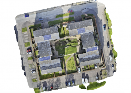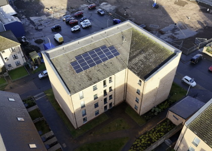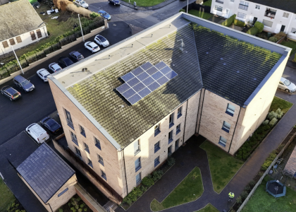

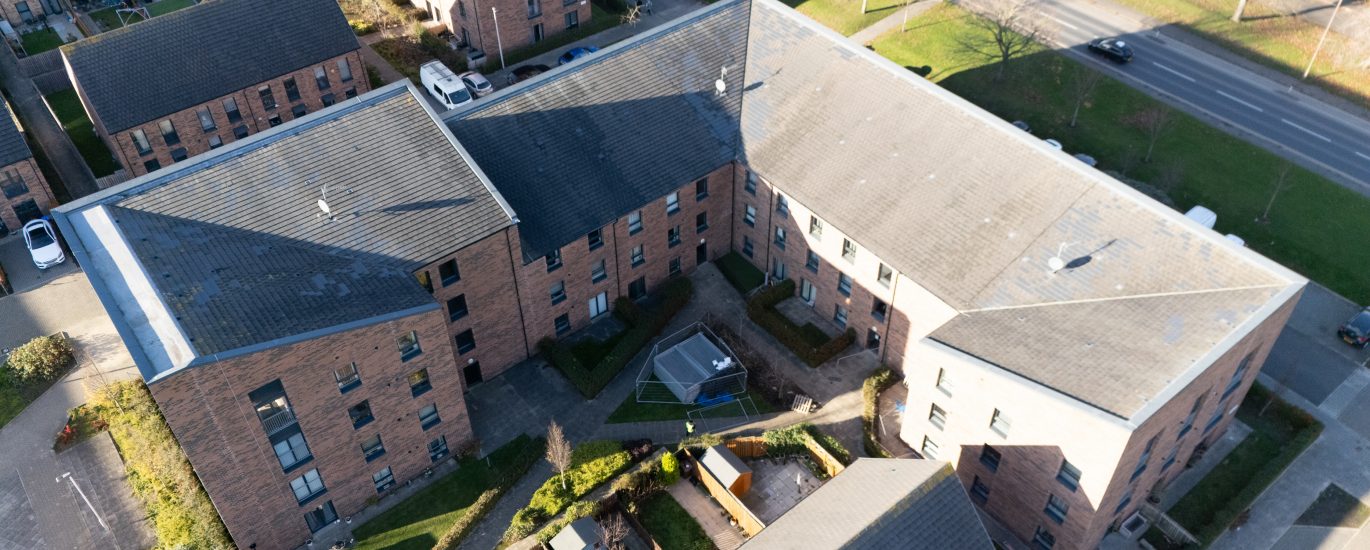
Project Overview: This mission required a sophisticated operational approach due to the complex architectural features of the site. The roof structure, characterized by two distinct elevations, demanded a departure from standard flight patterns in favour of a bespoke, dual-level survey strategy.
Technical Execution & Planning:
- Bespoke Method Statement: Due to the varying heights and technical infrastructure between roof sections, a specific Method Statement was developed. This included precise approach paths and dynamic Return-To-Home (RTH) management to ensure 100% safety and operational compliance.
- Dual-Phase Flight Strategy: The survey was split into two independent flight plans tailored to the specific roof rungs. This ensured a consistent Ground Sample Distance (GSD) and maintained perfect sensor angles for both the upper and lower sections.
- GNSS Base Station Integration: By utilizing our own GNSS base station on-site, all data was captured with centimetre-level precision. This real-time correction eliminates the margins of error found in standard GPS surveys, providing a reliable “survey-grade” dataset.
Deliverables: The resulting dataset provides a comprehensive, high-resolution digital record of the entire roof area. This allows for precise measurements of any identified anomalies, facilitating accurate maintenance planning and cost-effective repair strategies.