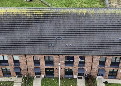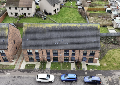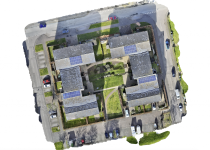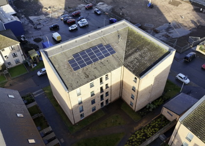

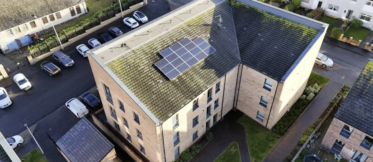
This project involved the creation of a high-resolution aerial visual record of a multi-storey residential building equipped with a rooftop solar photovoltaic system. The purpose of the survey was not only to assess the current condition of the roof covering, but also to establish a long-term visual benchmark for future asset management.
Using drone technology, the entire roof structure was documented without the need for ladders, access platforms, or temporary working-at-height arrangements. This significantly reduced operational risk while allowing a complete overview of areas that would otherwise be difficult and costly to inspect.
The survey identified variations in surface condition across the roof slopes, including biological growth and weathering patterns commonly associated with long-term exposure to the Scottish climate. Particular attention was given to the areas surrounding the solar installation, roof edges, drainage routes and locations where moisture retention may accelerate material deterioration.
Beyond immediate maintenance planning, this type of documentation provides long-term value. High-quality aerial records allow housing providers, property managers and maintenance teams to monitor changes over time, compare future inspections against historical imagery and make evidence-based decisions before minor defects develop into major repair costs.
Safety remains a key advantage of drone-assisted surveys. By collecting detailed visual data remotely, building owners gain access to comprehensive information while minimising risks associated with working at height and reducing disruption to residents.
This survey forms part of a proactive asset management approach, providing a permanent visual record that can support maintenance strategies, budget forecasting and future condition assessments for years to come.