

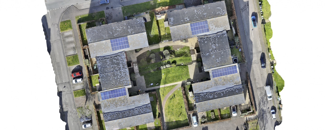
Aerial Survey Deliverables — Orthophoto, 3D Model & Digital Surface Model
Every drone survey we carry out produces three complementary outputs, all georeferenced to survey-grade accuracy using RTK positioning. -The Orthophoto (2D Orthomosaic) is a distortion-free, top-down representation of the site,