
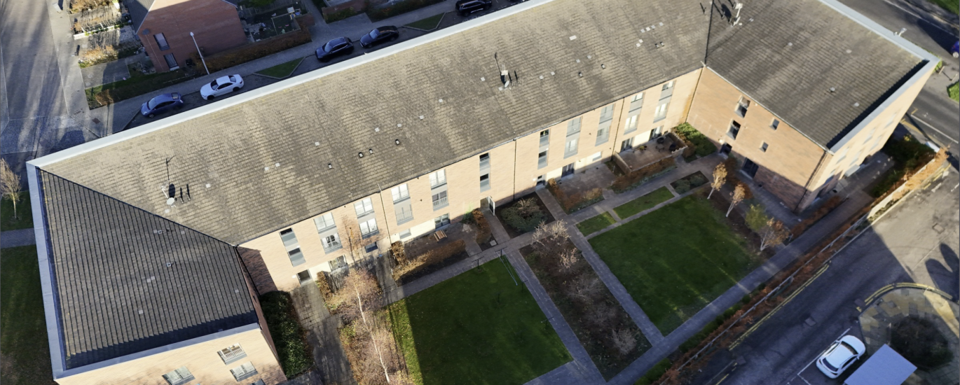
Project Overview:
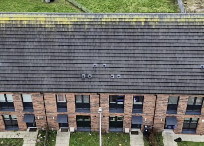
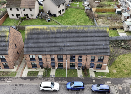
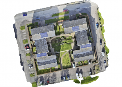
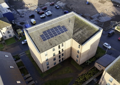
High-resolution aerial survey and structural condition assessment of a 10-year-old residential asset located at Pennywell Gardens, Edinburgh — developed by Robertson Partnership Homes. The primary objective was to deliver a definitive close-range visual inspection and comprehensive documentation of the full roofing system prior to planned repair works. Beyond immediate defect identification, the mission produced a permanent, georeferenced visual archive of the entire roof surface — a strategic asset for future maintenance planning and long-term cost forecasting.
Challenges & Flight Safety:
Operating over a densely populated urban residential site introduced a layered set of operational and safety constraints. The building’s L-shaped multi-pitch roof geometry, combined with varying eave and ridge elevations, demanded a precisely engineered flight plan to achieve total surface coverage without gaps or data loss.
The operation was executed under the following technical and safety protocols:
Urban Airspace & Hazard Management: The flight was conducted within a fully occupied residential environment, requiring continuous situational awareness with respect to pedestrian movement below and active wildlife in the vicinity. Avian activity across the roofline was actively monitored throughout the mission to maintain safe separation and protect both the aircraft and the public.
High-Density Image Acquisition: Achieving complete roof coverage required the capture and management of over 80 high-resolution inspection images. Each frame was systematically catalogued and precisely indexed against a roof surface map, enabling exact defect localisation across the full extent of the structure.
Tactical Flight Planning: The complex geometry of the roof — incorporating multiple pitches, valleys, and changes in elevation — required a bespoke low-altitude flight tactic tailored specifically to this structure. Standard automated grid patterns were insufficient; manual flight sequencing was employed to ensure no critical roof section was missed.
Emergency Preparedness: Given the urban setting and proximity to residents, a full contingency and emergency response plan was in place prior to take-off, in compliance with operational safety requirements for built-up area flying.
Results:
The operation delivered an exhaustive, survey-grade visual record of the entire roofing asset ahead of scheduled repair works. The client received a fully indexed condition report with precise anomaly localisation — providing immediate engineering insight while simultaneously creating a permanent baseline documentation of the roof’s pre-repair state. This georeferenced visual archive will serve as a long-term planning tool for future maintenance cycles, delivering significant cost savings by eliminating the need for repeated scaffolding erection for routine inspection purposes.