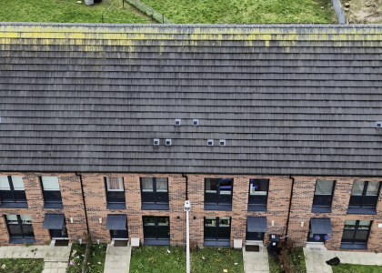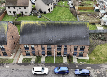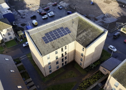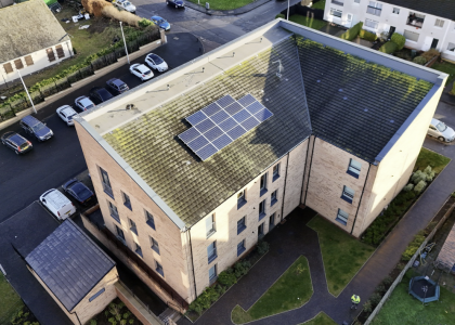

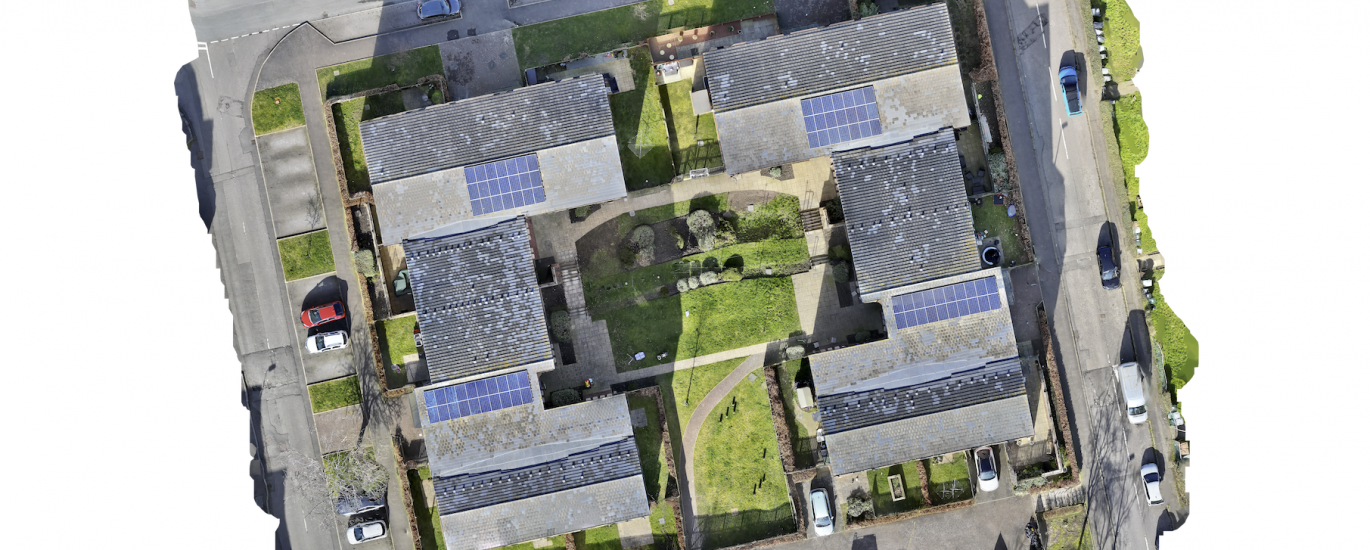
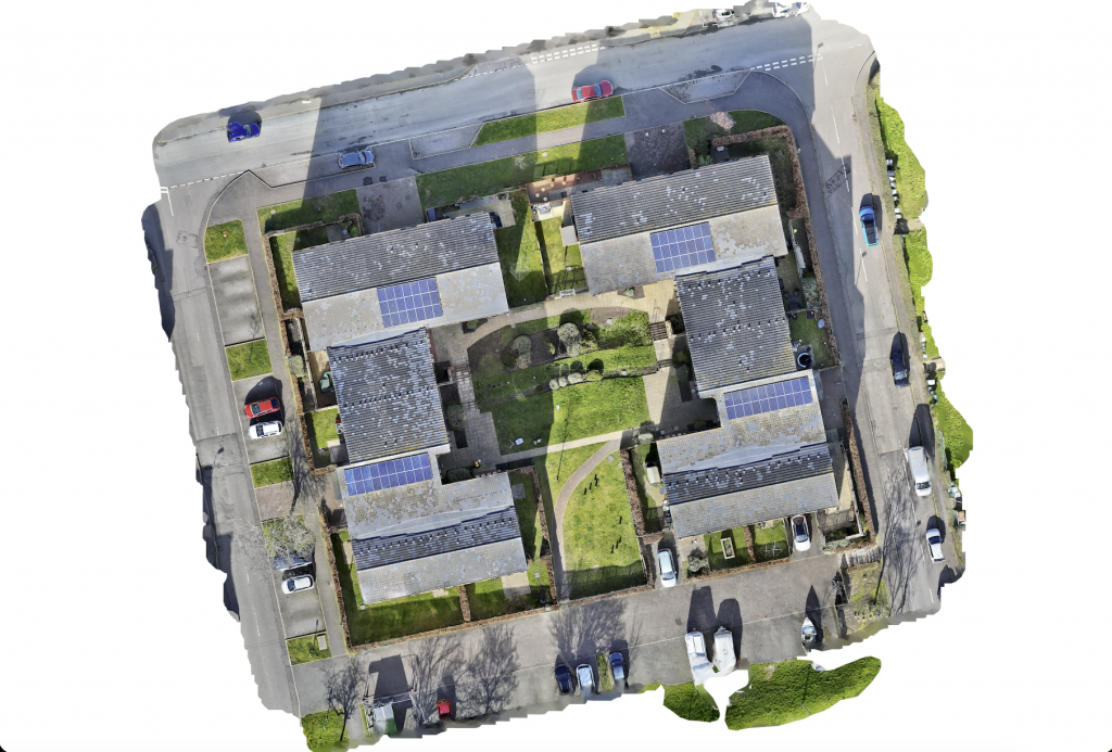
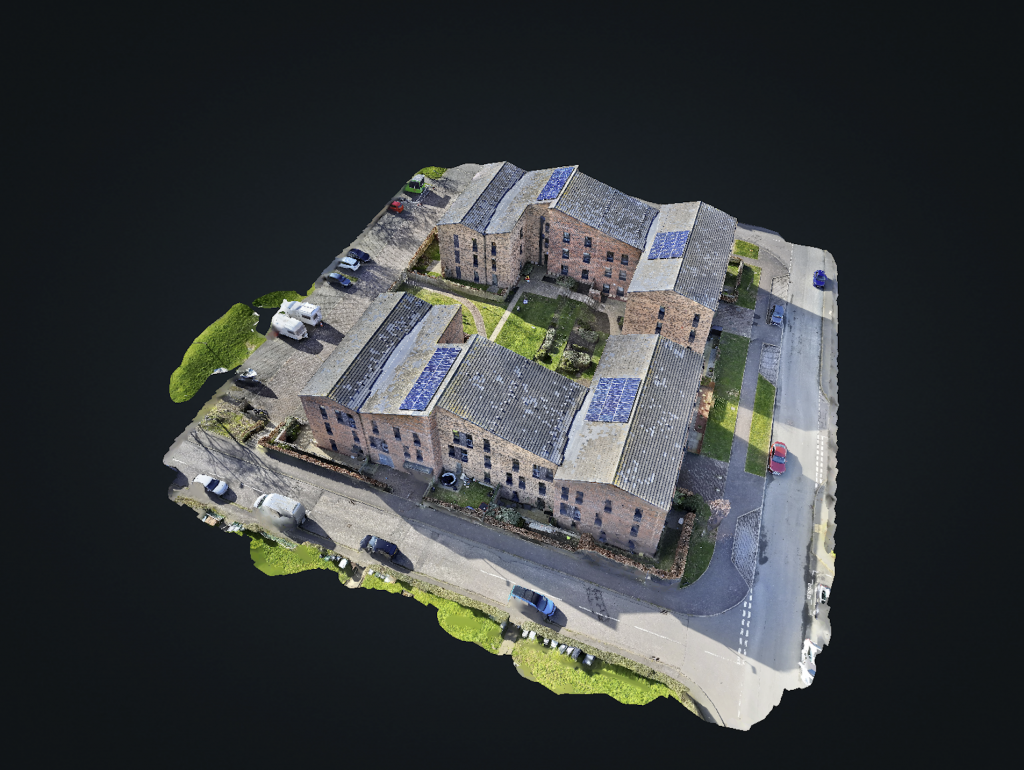
Every drone survey we carry out produces three complementary outputs, all georeferenced to survey-grade accuracy using RTK positioning.
-The Orthophoto (2D Orthomosaic) is a distortion-free, top-down representation of the site, geometrically corrected and aligned to real-world coordinates. Unlike a standard aerial photograph, it can be precisely measured and overlaid accurately onto existing GIS or CAD mapping data.
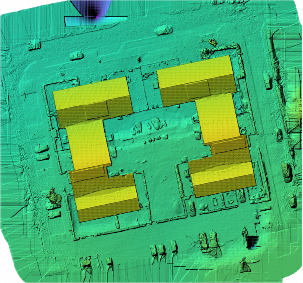
-The Digital Surface Model (DSM) captures the precise elevation of every surface on site — roofs, ridges, chimneys, and surrounding terrain — mapped as a continuous, colour-coded height layer. Because it’s geolocated with the same geodetic precision as the orthophoto and 3D model, it can be aligned directly onto world maps and used for elevation analysis, structural monitoring, or change detection over time.
-The 3D Model & Point Cloud provides a fully measurable reconstruction of the site — roof geometry, ridge and hip angles, tile lap, and solar panel layouts can all be extracted directly from the data, without the need for scaffolding or repeat site visits.
All three outputs are produced from a single flight and processed in-house, giving a complete, accurate, and actionable picture of a site’s condition and geometry.
Compatible Formats & Deliverables
Data ready for seamless integration into CAD, BIM, and GIS software:
Orthophoto: GeoTIFF, JPG, PNG
3D Model / Point Cloud: LAS, LAZ, OBJ, PLY, DXF
DSM / Elevation: GeoTIFF, DEM, XYZ